
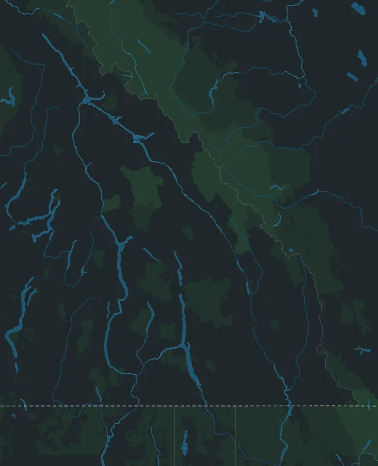
Map: © OpenStreetMap contributors, Overture Maps Foundation
Road trip from Calgary · British Columbia
Calgary to Kelowna
By Thimble Travel · Last checked November 2026
A road trip from Calgary to Kelowna, through four national parks and over Rogers Pass: park passes, winter tires, the time change, and the trip day by day, with two days in Kelowna.
Map: © OpenStreetMap contributors, Overture Maps Foundation
Before you drive
What to know before you leave Calgary.
The national parks
The highway runs through four national parks: Banff, Yoho, Glacier and Mount Revelstoke. Driving straight through needs no pass. Stop anywhere in them, even at a viewpoint, a picnic site or the town of Banff, and you need one. One daily pass covers all four, until 4 pm the day after you buy it. Buy it online, or at the park gate on the highway.
Driving west without stopping? Use the through lane on the far right at the Banff East Gate.
Winter tires
From October 1 to April 30, BC requires winter tires on most of its highways, Rogers Pass included. A winter tire shows M+S or the mountain and snowflake, and has at least 3.5 mm of tread. Summer tires aren't allowed, even with chains.
Parks Canada and BC recommend the mountain and snowflake. Signs mark where winter tires are needed, and on a few lower highways the season ends March 31.
Rogers Pass in winter
The highway climbs to 1,330 metres at Rogers Pass, past 135 avalanche paths in 40 km. It closes at times for avalanche control, for 2 to 8 hours or longer, and for long closures traffic is held in Golden and Revelstoke. Don't stop where signs say no stopping.
Before you leave, check DriveBC, which shows closures, planned ones too. Keep the tank full, and carry water, food, warm clothes and blankets.
The time
Kelowna is an hour behind Calgary, all year. Golden keeps Alberta's time, so the clock goes back an hour between Golden and Revelstoke, and forward an hour on the way home.
The trip, day by day
A day's drive each way, and two days in Kelowna. Drive times are for driving only, without traffic or stops.
Day 1 · Calgary to Kelowna
About 605 km, about 7 hours of driving
Morning
Through Banff and Yoho to Golden
West on the Trans-Canada Highway through Banff and Yoho national parks to Golden. About 260 km, about 3 hours.
Stretch your legs on Golden's pedestrian bridge over the Kicking Horse River, at 8th Avenue North. At 46 metres, it's the longest freestanding timber frame bridge in Canada.
Afternoon
Over Rogers Pass to Kelowna
Fill up in Golden first: there's no gas at Rogers Pass. Then over the pass, through Revelstoke, south at Sicamous on Highway 97A, through Vernon and on to Kelowna. About 345 km, about 4 hours.
The Revelstoke Railway Museum, at 719 Track Street West, is open Thursday to Sunday.
Day 2 · Downtown and Knox Mountain
Morning
The waterfront walk
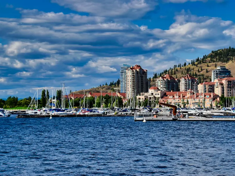
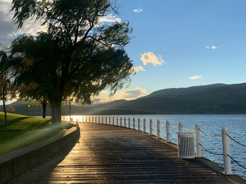
A paved path runs 2 km along Okanagan Lake, through five parks: City Park, Kerry Park, Stuart Park, Waterfront Park and Rotary Marsh Park.
City Park, at the south end, has sandy beaches, playgrounds and a skatepark.
Afternoon
Kelowna Art Gallery
Downtown at 1315 Water Street. Open Tuesday to Sunday, 10 am to 5 pm, and until 8 pm on Thursdays.
Closed Mondays. Free for children under 12.
Late afternoon
Up Knox Mountain
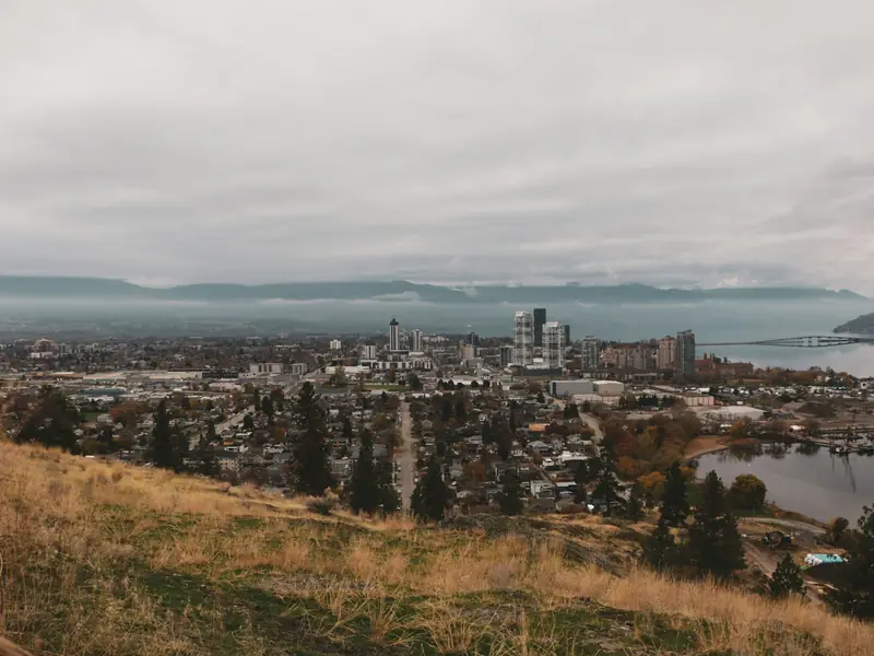
Kelowna's largest nature park, just north of downtown. The Apex Trail climbs 260 metres in 2 km to the summit, with lookouts over the lake and the city. Or take the easy Paul's Tomb Trail, 1.5 km by the lake to a quiet cove.
The park is open 6 am to 10 pm, every day.
Day 3 · Mission Creek and Myra Canyon
Morning
Mission Creek's nature centre
The Robert Hobson Environmental Education Centre, in Mission Creek Regional Park at 2363 Springfield Road, has nature displays, staff to answer questions, and backpacks to sign out on birds, trees, bats and more. Open Tuesday to Sunday, 10 am to 3 pm.
Closed Mondays and some holidays.
Afternoon
Myra Canyon, spring to fall
In 8.8 km, the old Kettle Valley Railway, now a trail, crosses 16 wooden trestles, two steel bridges and two tunnels. Walk it or bike it, and walk your bike over the trestles.
The park has services from mid-April to November 15. The last 8 km of road to the parking lot is gravel and can be rough.
Day 4 · Home the same way
About 605 km, about 7 hours of driving
The drive home
Back over Rogers Pass. Leave early: the clock goes forward an hour between Revelstoke and Golden.
Fill up in Revelstoke: there's no gas at the pass.
Good to know
- Stopping at Lake Louise? Parks Canada says finding parking there is unlikely, and you pay for it from May to October. Its shuttles to the lake need a reservation.
- If you see wildlife by the road in the parks, slow down, stay in your vehicle and move on. Feeding wildlife in a national park is illegal.
- Some BC highways have electronic speed limit signs. When the lights above one flash, the limit has been lowered for the weather, and the number shown is the legal limit.
- Bringing the dog? Keep it on a leash at Myra Canyon and on Knox Mountain's trails. Knox Mountain has a large off-leash area near its base.
- Kelowna's waterfront path and City Park are paved and wheelchair accessible.
- Hours and dates on this page were checked in November 2026. They can change, so check the official websites before you go.
Going with family or friends?
Send this page to the group chat, so everyone has the drive on one map.
Plan your Kelowna trip
Tell Thimble and it'll build a full itinerary for you.

Scan with your phone to get the app.
Kelowna, British Columbia
Map: © OpenStreetMap contributors, Overture Maps Foundation
Checked in November 2026 on the websites of Parks Canada, the Government of British Columbia, BC Parks, the Government of Alberta, the Town of Golden, Tourism Golden, the Revelstoke Railway Museum, Tourism Kelowna, the Kelowna Art Gallery and the Regional District of Central Okanagan. Distances and speed limits are from OpenStreetMap. Drive times are worked out from them, without traffic or stops.