
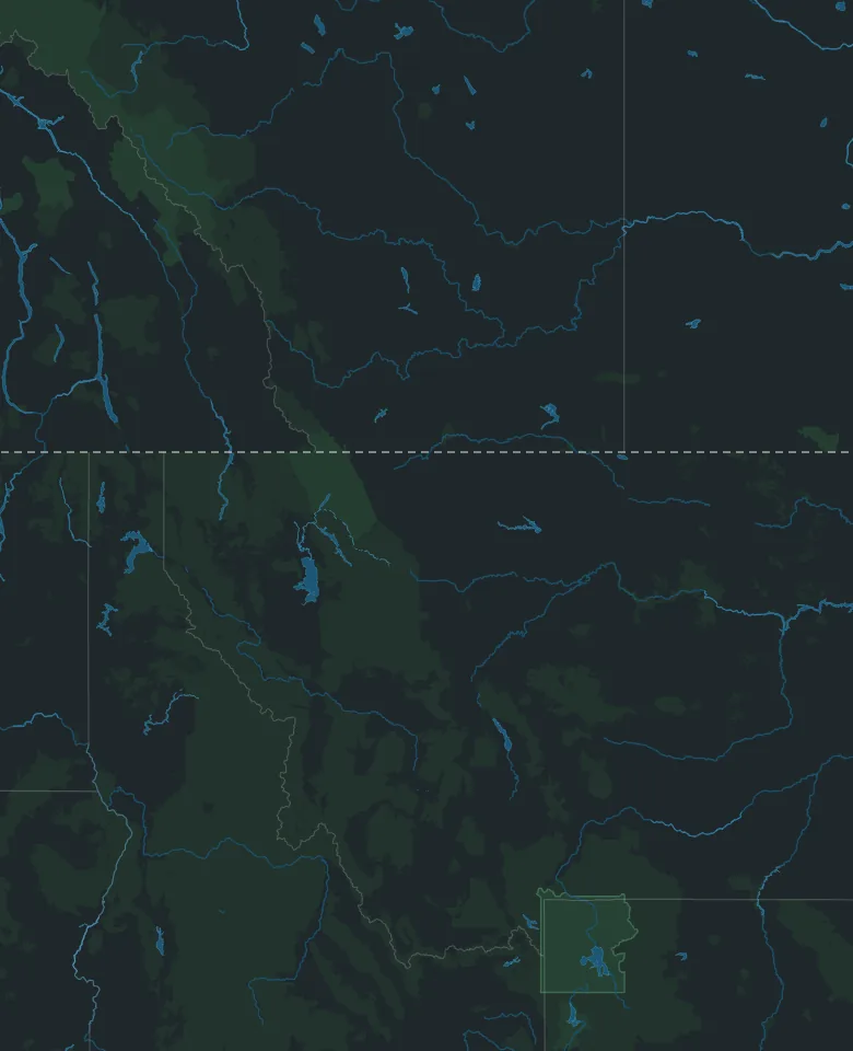
Map: © OpenStreetMap contributors, Overture Maps Foundation
Road trip from Canada · Montana and Wyoming
Calgary to Yellowstone
By Thimble Travel · Last checked November 2026
A road trip from Calgary to Yellowstone National Park, planned from the Canadian side: the border, what to bring, when the park's roads open, and the drive day by day.
Map: © OpenStreetMap contributors, Overture Maps Foundation
Getting there from Canada
What changes when the trip starts on this side of the border.
The border
Coutts, Alberta, into Sweetgrass, Montana, on Interstate 15, is open 24 hours a day. Carway and Del Bonita, the smaller crossings to the west, keep shorter hours.
What to bring
Canadian citizens 16 and older need a valid passport or a trusted traveller card, such as NEXUS. Children 15 and under can use a passport, a birth certificate or a Canadian citizenship certificate.
Staying in the US longer than 30 days? You must be registered with the US government.
When the park opens
Yellowstone opens its roads in stages each spring. In 2027, the first roads are set to open on April 16, more open through May, and most close after October 31, weather permitting.
The road from the North Entrance through Lamar Valley to Cooke City stays open all year, weather permitting.
Park passes
Every car needs an entrance pass. Buy it online before you go, or at the entrance. No reservation is needed. Visitors 16 and older who don't live in the US also each pay a nonresident fee, unless someone in the car has an annual pass, which covers them and everyone riding with them.
The amounts are on the park's fees page.
The trip, day by day
Two days of driving each way, and two days in the park. Drive times are for driving only, without traffic or stops.
Day 1 · Calgary to Great Falls
About 510 km, about 4¾ hours of driving
Morning
South to the border
Through Lethbridge, then Highway 4 to Coutts. About 320 km, about 3¼ hours.
The crossing is open 24 hours a day.
Afternoon
Interstate 15 to Great Falls
About 190 km, about 1½ hours more, then a night in Great Falls, a little over halfway to the park.
Day 2 · Great Falls to Yellowstone
About 420 km, about 3¾ hours of driving
Morning
Helena, Bozeman and Livingston
Interstate 15 to Helena, then on through Bozeman to Livingston.
Afternoon
Into the park at Gardiner
US 89 follows the Yellowstone River south to Gardiner, where you drive into the park through the Roosevelt Arch.
Gardiner, right at the entrance, has places to stay.
Day 3 · Mammoth Hot Springs and Lamar Valley
Morning
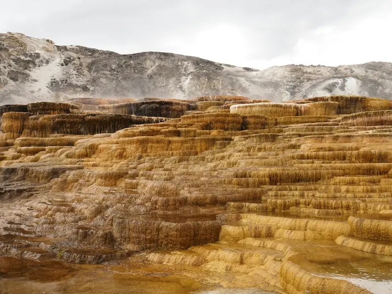
Mammoth Hot Springs
About 15 minutes past the entrance. Walk the boardwalks over the terraces, then see Fort Yellowstone's red-roofed buildings, from the years the US Army ran the park.
Afternoon
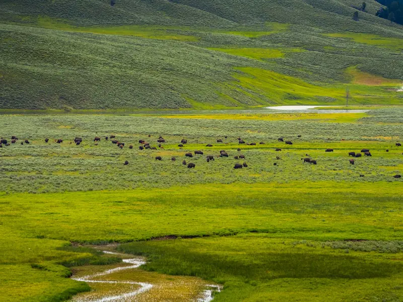
Lamar Valley
East past Tower Junction, the valley is known for its wolves, and for herds of bison and elk.
Through 2027, expect waits of up to 30 minutes at bridge work just past Mammoth.
Day 4 · Old Faithful
All day
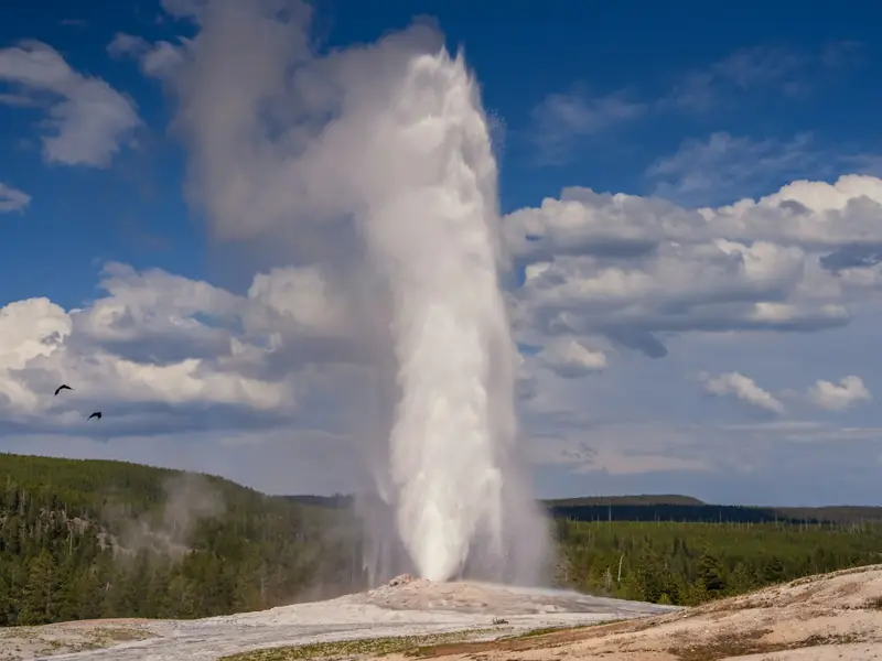
Old Faithful and the geysers
About two hours south of Mammoth, by the park's own drive times. Old Faithful is one of hundreds of geysers and hot springs there.
In summer, the park suggests seeing its busiest places before 10 am or after 4 pm.
Days 5 and 6 · Home the same way
About 930 km, about 8½ hours of driving
The drive home
Stop in Great Falls again, or make it one long day.
Good to know
- Montana and Wyoming are an hour behind Alberta from early November to mid-March, and on the same time as Alberta the rest of the year.
- Speed limits in the US are in miles per hour: 80 on most of Montana's interstates, 70 by day on two-lane highways, and 45 in the park unless signs say otherwise.
- Don't take cannabis across the border, in any amount, even into a state where it's legal.
- Coming home, declare what you bought. How much you can bring back without paying duty or taxes depends on how long you were away.
- In winter, check 511 Alberta, Montana's 511 and the park's road page before you go, and leave extra time.
- Hours and dates on this page were checked in November 2026. They can change, so check the official websites before you go.
Going with family or friends?
Send this page to the group chat, so everyone has the drive on one map.
Plan your Yellowstone trip
Tell Thimble and it'll build a full itinerary for you.

Scan with your phone to get the app.
Yellowstone National Park
Map: © OpenStreetMap contributors, Overture Maps Foundation
Checked in November 2026 on the websites of the Government of Canada (travel advice for the United States), the Canada Border Services Agency, US Customs and Border Protection, Yellowstone National Park, the National Park Service, the Government of Alberta, the Montana Department of Transportation and the US National Institute of Standards and Technology. Distances are estimates from OpenStreetMap. Drive times are worked out from the posted speed limits, without traffic or stops.